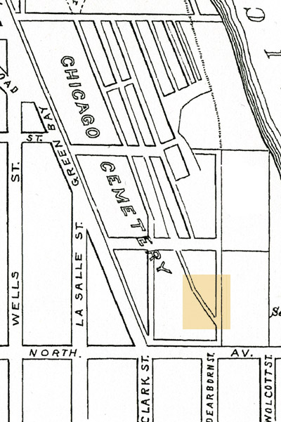
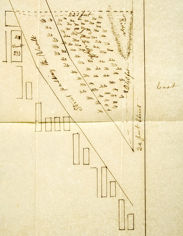
 The hand-drawn map at the right was made in 1846 by the City Surveyor, Asa Bradley. This ink drawing on parchment paper, shows the detail highlighted above, on the 1863 cemetery map. Notable features of Bradley's map include the depiction of a raised ridge, the two hundred foot wide slough, and the City Sexton's receiving vault on two cemetery lots. See the 1843 - 1850 section for the Sexton's request and subsequent refusal by city officials to fill the slough in 1847. A slough is defined by the Oxford English Dictionary as, "A piece of soft, miry, or muddy ground; esp. a place or hole in a road or way filled with wet mud or mire and impassable by heavy vehicles, horses, etc." This triangular area would later be filled, and subdivided into burial lots. |
 |
|
| Pamela Bannos © 2021 |
||