| These are the maps that I used to construct the flash animation that opened this web-based project from 2008 through 2019. |
 |
 |
 |
 |
 |
 |
 |
 |
 |
 |
 |
 |
 |
 |
 |
 |
 |
 |
 |
 |
 |
 |
 |
 |
 |
 |
 |
 |
 |
 |
 |
 |
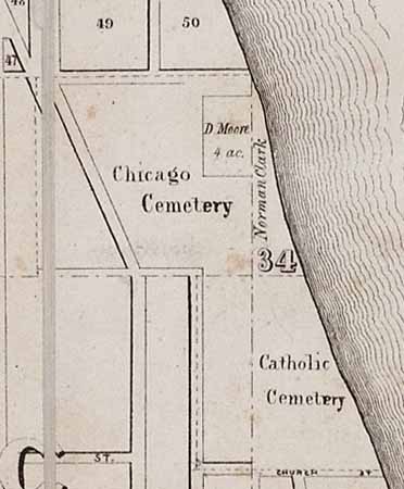
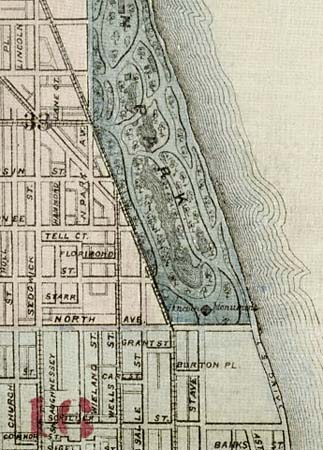
1849 Map of Chicago and Vicinity, Rees and Rucker, Surveyor: William Clogher, courtesy of the Chicago History Museum. See entire map. |
1851 Map of the City of Chicago, Printed by D. Morse Microfiche paper copy from the Newberry Library. From Library of Congress Photoduplication Service. |
1861 |
1862 |
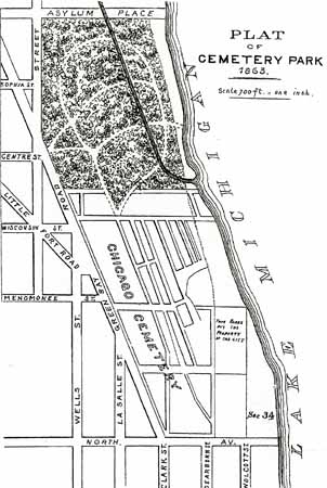
1863 Plat of Cemetery Park, from IJ Bryan's History of Lincoln Park, 1899 (an early plan to keep the cemetery, landscaping the grounds to the north). |
1864 Charles Shober map. Microfiche paper copy from the Newberry Library. From Library of Congress Photoduplication Service. |
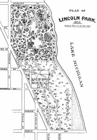
1870 Plan of Lincoln Park, from IJ Bryan's History of Lincoln Park, 1899 (By 1870 neither the Milliman Tract nor the rest of the cemetery was entirely vacated by lot owners. Headstones still marked graves.) |
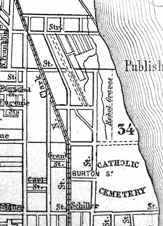
1871 Guide Map of Chicago, Creator: Rufus Blanchard, courtesy of the Chicago History Museum. See entire map. (This rendering marks the "Rebel Graves", as well as shows the park layout plan, not yet implemented.) |
1872 |
1872 |
1872 |
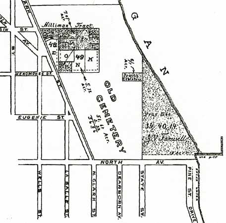
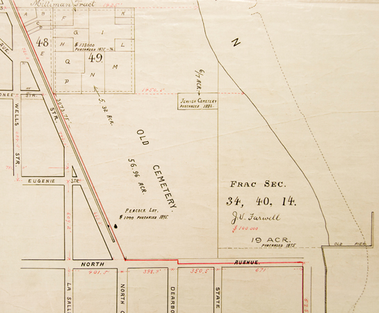
1873 Plat illustration, from IJ Bryan's History of Lincoln Park, 1899. (This survey map shows sections of the Milliman Tract not yet acquired by the City or the Lincoln Park commissioners. It also identifies the not-yet-obtained grounds once occupied by Chicago's first Jewish Cemetery, as well as the pier constructed by J.V. Farwell that gathered sand with the lake's current to increase his land holding by 16 acres.) |
1895 Original unsigned plat map, by permission and courtesy of the Chicago Park District Special Collections. (This hand drawn map notes the purchase of the Jewish Cemetery in 1882, as well as the prices of $138,000 for a portion of the Milliman Tract, and $1000 for the purchase of the Peacock family vault lots. The unclaimed family cemetery lots were acquired by the Lincoln Park Commissioners by condemnation. The expanded Farwell Tract was bought in 1875 for $100,000.) |
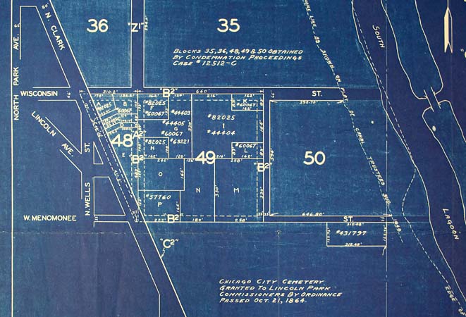
1938 Plat made during the WPA expansion of Lincoln Park showing survey information of the Milliman Tract area. By permission and courtesy of the Chicago Park District Special Collections. (Notice original 1848 shoreline and subsequent landfill and lagoon addition.) |
1873 |
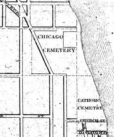
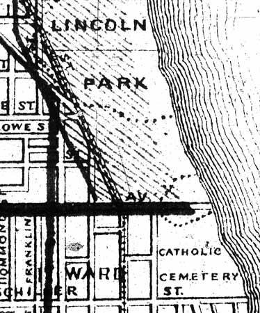
1875 This detail from a city map published by Warner & Beers continues to show the cemetery layout south of Wisconsin Street while other maps are illustrating various park landscape plans. |
1879 |
1886 |
1886 |
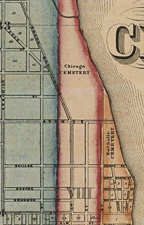
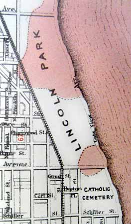
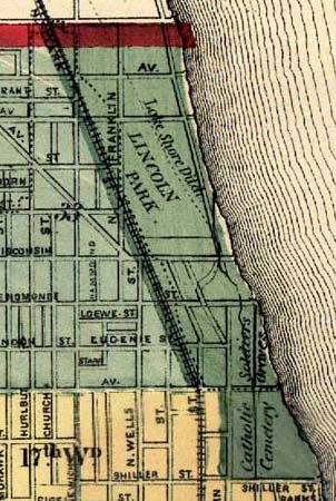
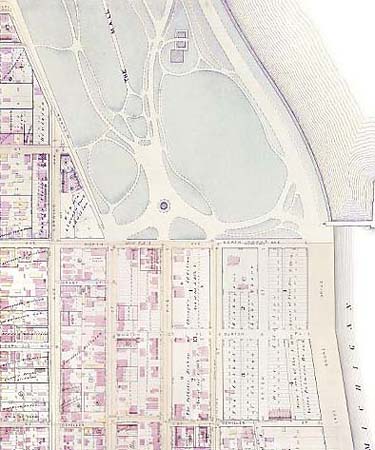
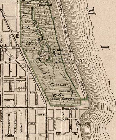
1886 Robinson’s Atlas of the City of Chicago, courtesy of the Chicago History Museum. See entire map. (This is a different detail of the map to the left.) |
1892
|
1897 |
1897-1899 |
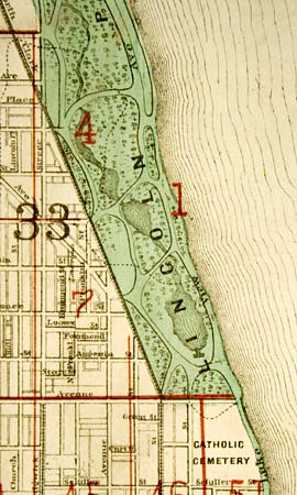
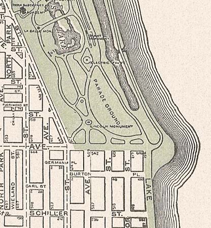
1899 Map of Lincoln Park (detail), from IJ Bryan's History of Lincoln Park. |
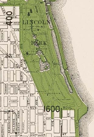
1910 |
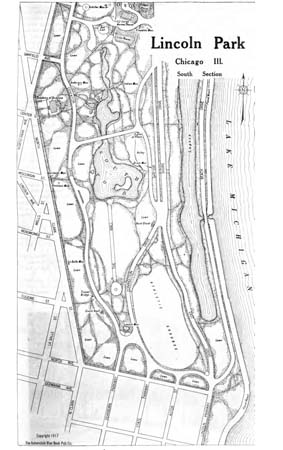
1917 Map of Lincoln Park, from Official Automobile Blue Book, Volume C., page 55. See the entire book. |
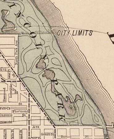
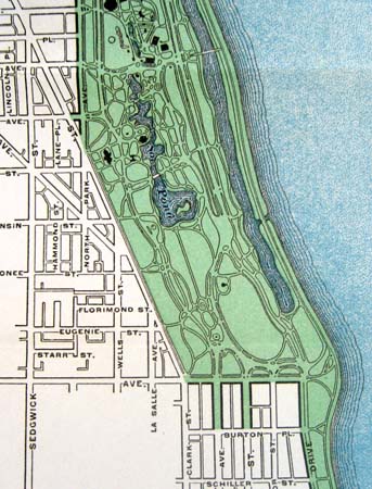
1920s This map, courtesy of the Harold Washington Library Center, illustrates the designation of Lincoln Park by the green-colored areas. |
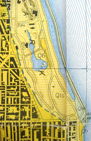
1920s This topographical map, courtesy of the Harold Washington Library Center, shows the elevated land areas. |
1925 |
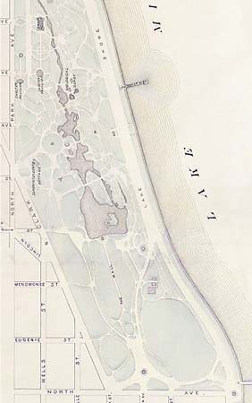
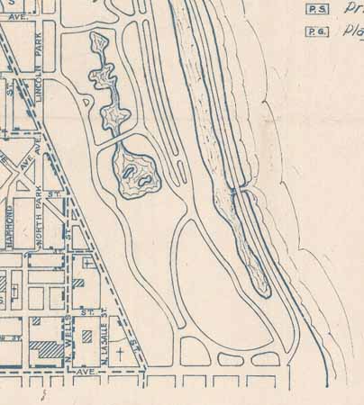
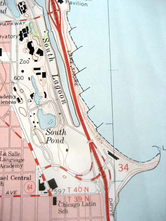
Contemporary Topographical map, Harold Washington Library Center. (In 1938, as part of the Workers Progress Administration work, LaSalle Drive was extended to join with Lake Shore Drive. During this time the lagoon was shortened and the lake filled to its current shoreline.) |
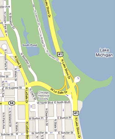
Contemporary Google Map. See a broader and interactive version of this map. |
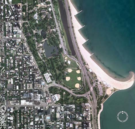
Google Satellite map from 2007, produced by NASA. See a broader and interactive satellite map. |
| Pamela Bannos © 2008 | Scroll to the Right ---->> |
HOME |